 Live
Live
A SpaceX rocket is scheduled to launch from California early Friday carrying a US and French satellite aimed at conducting the first global survey of Earth’s surface water to reveal the mechanisms and consequences of climate change.
The Falcon 9 rocket, owned and operated by billionaire Elon Musk’s Commercial Launch Company under a NASA contract, is scheduled to launch at 3:46 am PST (1146 GMT) at the Vandenberg US Space Force emission. The launch took place from the Los Angeles base, about 275 kilometres (170 miles) northwest of the United States.
Thursday’s weather forecast predicted favourable conditions for liftoff, managed by NASA’s Launch Services team. The countdown was delayed 24 hours from Thursday after inspectors detected moisture in two of the rocket’s nine main engines, but the issue was resolved after further analysis, NASA said.
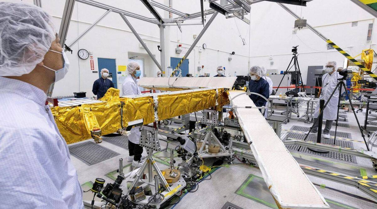
The rocket’s payload, the Surface Water and Ocean Topography Satellite, or SWOT, uses advanced microwave radar technology to collect high-resolution measurements of more than 90% of the world’s oceans, lakes, reservoirs and rivers.
The researchers said the data, compiled from radar scans of the Earth at least twice every 21 days, will enhance ocean circulation models, weather, and climate forecasts and help manage scarce freshwater supplies in arid regions.
Components for the SUV-sized satellite are primarily manufactured at NASA’s Jet Propulsion Laboratory (JPL) near Los Angeles and the French space agency CNES.
Developed by NASA for nearly 20 years with contributions from its Canadian and British counterparts, SWOT is one of 15 tasks listed by the National Research Council as projects NASA should undertake within the next decade.
A primary goal of the mission is to explore how the ocean absorbs atmospheric heat and carbon dioxide in a process that naturally regulates global temperatures and helps reduce climate change.
The oceans are estimated to absorb more than 90% of excess heat in Earth’s atmosphere due to man-made greenhouse gas emissions.
Scanning the ocean from orbit, SWOT can precisely measure subtle differences in surface elevation around smaller ocean currents and eddies, which are believed to be where most of the ocean’s heat and carbon losses occur, according to scientists.
Understanding how this works will help answer a fundamental question: what is the tipping point at which the oceans release large amounts of heat into the atmosphere instead of absorbing it, thereby exacerbating global warming?
SWOT’s ability to discern more minor surface features will also help study the effects of sea level rise on coastal areas.
More precise data along tidal zones will help predict how far inland storm surge flooding may infiltrate and the extent to which saltwater intrudes into estuaries, wetlands and aquifers.
Freshwater bodies of water are:
- Another SWOT focuses.
- Seeing nearly all rivers over 330 feet (100 meters) wide.
- Over 1 million lakes and reservoirs are more prominent than several city blocks in New York City.
Repeatedly taking stock of Earth’s water resources during SWOT’s three-year mission will allow researchers to better track fluctuations in the planet’s rivers and lakes during seasonal changes and significant weather events.
SWOT’s main radar instrument operates in the so-called Ka-band frequencies of the microwave spectrum, enabling its scans to penetrate large clouds and darkness on the Earth’s surface. It allows scientists to accurately map two-dimensional observations regardless of weather or time of day and cover large geographic areas faster than before.
Previous studies of bodies of water have relied on data collected at specific points, such as water gauges in rivers or oceans or satellites that can only track measurements along a one-dimensional line, requiring scientists to fill in data gaps through extrapolation.
If all goes according to plan, the SWOT satellite will start generating research data within a few months.